St Edmund's
Malham Geography Trip
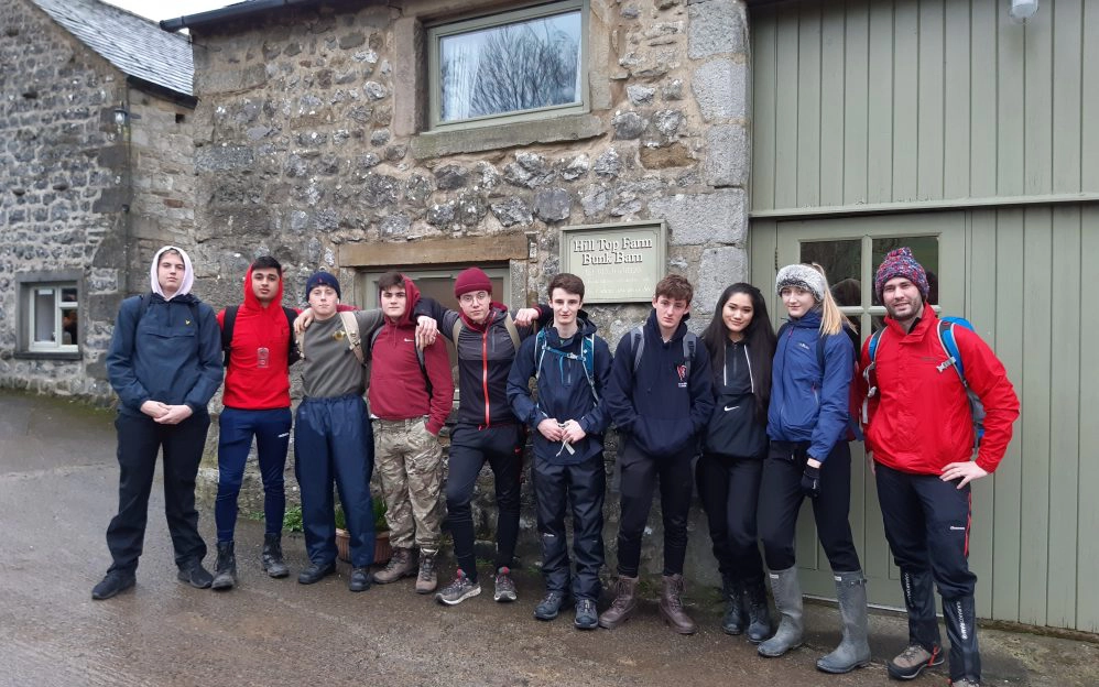
Nine lower sixth geographers travelled to Malham in the Yorkshire Dales for a weekend of physical fieldwork last weekend. Unfortunately our resident chef couldn’t make it but all the pupils took turns to help out by cooking and washing up in the bunkhouse each day.
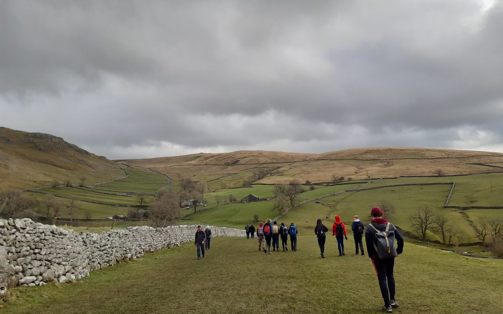
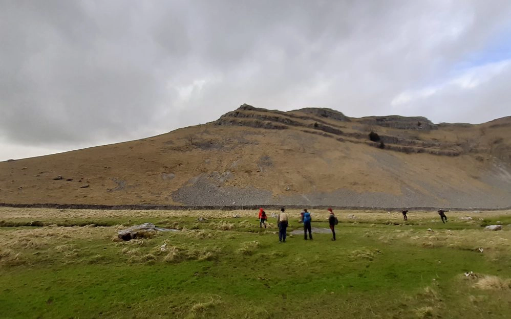
On Saturday we walked to Malham Cove, a curved limestone cliff some 80 metres tall and 300m across. The pupils learnt how it was formed through a unique series of glaciokarst processes, with waterfalls from post glacial meltwater creating the distinct cliff face and pavements on the top surface. Our walk that day saw many more limestone features including Gordale scar. We spent the afternoon on our river study, taking data to test our hypotheses of downstream changes in Gordale Beck.
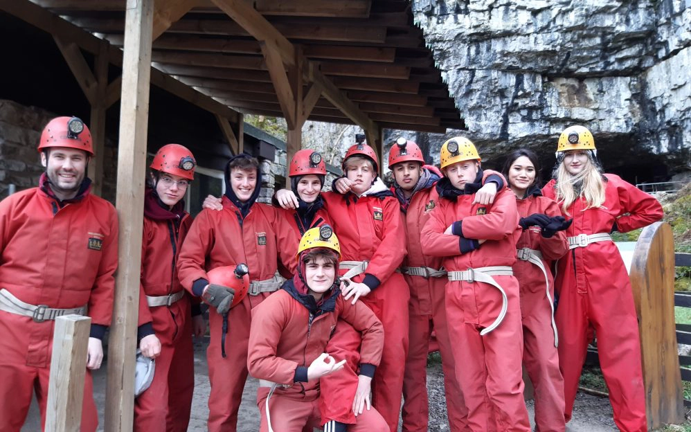
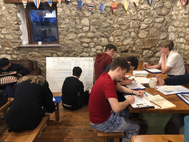
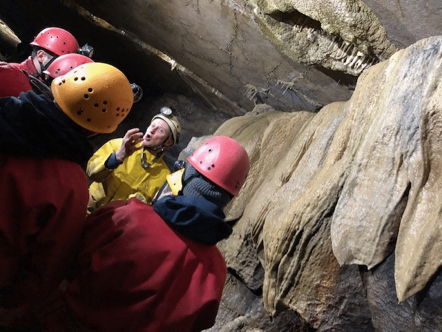
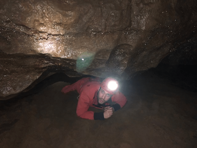
The evening was spent writing up our fieldwork study and preparing for Sunday’s adventures. The next day saw a drive to Ingleborough estate in Clapham where we met John, our guide for the day. He told us all about the limestone systems in the area, of faulting and folding, of unconformities and of glacial scouring that left the landscape as we see it today. After donning some very special boiler suits and helmets we were treated to an afternoon in the caves, learning about weathering controls and processes that form the magnificent underground scenery here. There were some challenging elements to the day and our pupils should be congratulated on their bravery in the face of very small spaces and extremely unattractive outfits. We were all grateful for spare shoes and socks on our exit.
Thanks go to Mr Kincaid for organising a safe and successful trip and apologies to our geographers for blatant lies about fictitious and deadly Gryke snakes. Sorry, they’re not real. You shouldn’t believe everything your teachers tell you.

